Sangre de Cristo Mountains
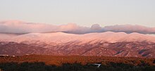
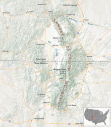
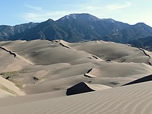
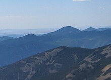
Mountain range in Colorado and New Mexico, United StatesThe Sangre de Cristo Mountains are the southernmost subrange of the Rocky Mountains. They are located in southern Colorado and northern New Mexico in the United States. The mountains run from Poncha Pass in South-Central Colorado, trending southeast and south, ending at Glorieta Pass, southeast of Santa Fe, New Mexico. The mountains contain a number of fourteen thousand foot peaks in the Colorado portion, as well as several peaks in New Mexico which are over thirteen thousand feet.
Read article
Top Questions
AI generatedMore questions
Nearby Places

Sangre de Cristo Range
American mountain range

Blanca Peak
Mountain in Colorado, United States

Mount Lindsey
Mountain in Colorado, United States

Little Bear Peak
Mountain in the state of Colorado United States

Ellingwood Point
Mountain in Colorado, United States

Zapata Falls
Waterfall in San Luis Valley, Colorado
California Peak
Mountain in Colorado, United States

Twin Peaks (Sangre de Cristo)
Mountain in Alamosa County, Colorado, United States


